Tell the story of every field
Saving crop insurers time and money by automating policy data capture and claims validation
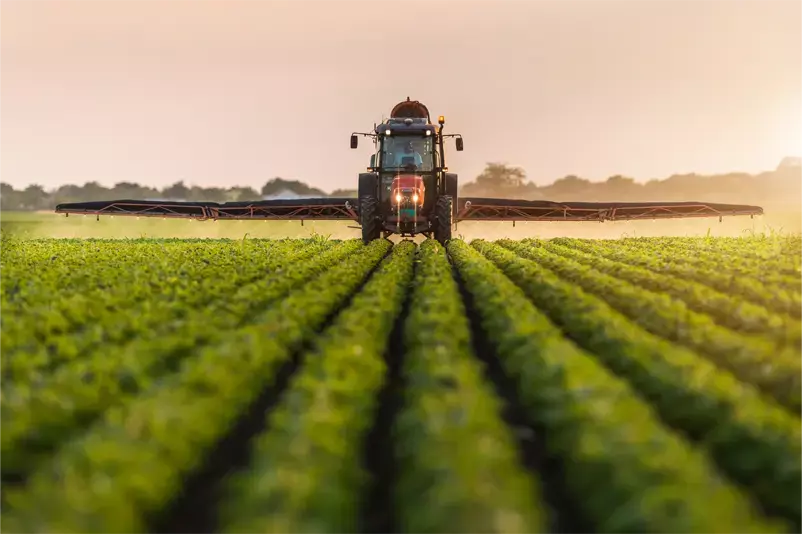
Case study
97.9% data accuracy on crop acres reporting and that’s not all…
ProAg partnered with PlanetWatchers to make use of our acreage reporting and wind damage analysis services. The goal was to provide in-season services that will increase data collection validation accuracy and speed. Using our extensive expertise, and highly efficient algorithms, we worked closely with ProAg to provide detailed CLU analysis at scale.
read more about us
Focusing exclusively on North America’s crop insurance industry, we partner with our customers to automate policy data capture and claims validation
Our acreage reporting services can provide forecasted acreage reporting ahead of time, help reduce overheads with the automated collection of acreage reporting by July 1st and improve customer service by validating manually collected acreage reports.
Our claims validation services increase efficiency with detailed crop damage maps, including flood detection, that guide field inspections and help resolve claims quickly and fairly, improving customer service and we also help reduce overheads by saving time spent processing a claim.

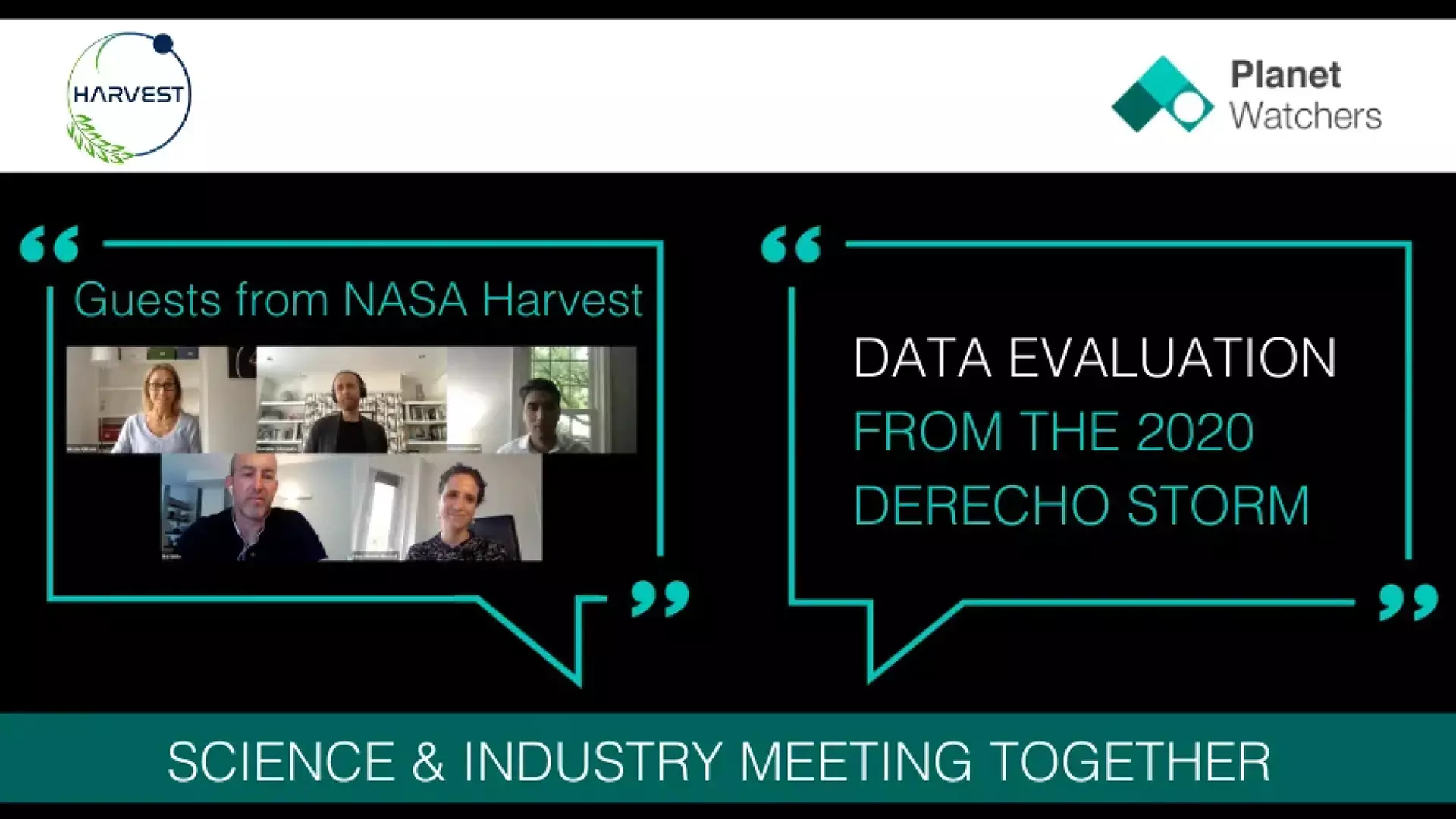
Latest webinar
The PlanetWatchers team and guest speakers from NASA Harvest discuss and evaluate the data from the Iowa Derecho Storm
PlanetWatchers CTO Roi Shilo, Director of NASA Harvest Inbal Becker-Reshef, and Medhi Hosseini share thoughts and insights on the differences in data results collated and methodology used to evaluate the data from the Iowa Derecho Storm. Find out how they see the future of remote sensing evolving to provide fast, accurate data from large-scale events such as the Derecho of 2020.
Testimonials
What our customers say
With PlanetWatchers, we can save up to an estimated 40% of time spent in the field to assess each event.
News and updates
Get the latest news, updates, and insights


“PlanetWatchers’ ability to tell the story of every field means that we save our AIP customers’ time and money. We build long-term partnerships with our customers, continually innovate and put the crop insurance industry first – meaning we can make a positive impact for AIPs, agents, and growers alike.”
Dominic Edmunds, CEO


OUR APPROACH
Tell the story of every field
At PlanetWatchers, our mission is to tell the story of every field. Our services that enable ag monitoring are designed to enhance policy and claims validation, saving our customers time and money and providing accurate and reliable data that supports the North American ag insurance industry. We are committed to using our expertise, including SAR analysis to make a positive impact on the industry, helping insurers, agents, and growers be successful.

OUR SERVICES
Saving our customers’ time and money by automating policy data capture and claims validation
Forecasted acreage
Delivered ahead of the sales period to allow for more accurate sales quotations, improving customer service.
Automated acreage reporting
Delivered on July 1st and includes plant date, crop ID, and crop acres.
Acreage report validation
Delivered after July 15th to allow for the identification of discrepancies in manually collected acreage reporting.
Wind
Our automated wind service is used to identify large scale damage events.
Prevented planting
Developed to provide all relevant claim adjustment information in a single report.
Forensic analysis
A detailed review of the events in a field, based on time series data from multiple sources.
Innovation
Additional areas of innovation, where services can be developed to improve efficiency and provide everyday value to AIPs.