What is Synthetic Aperture Radar (SAR)?
Synthetic Aperture Radar (SAR) is a type of radar that uses radio waves to create high-resolution images of the Earth’s surface.
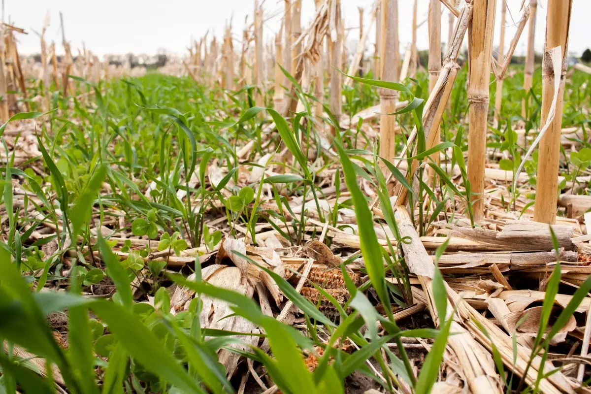
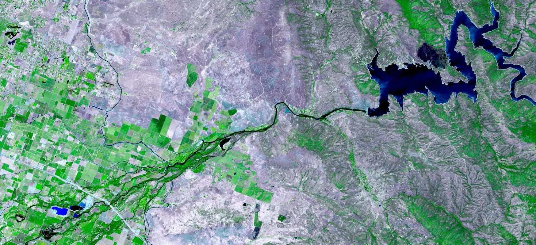
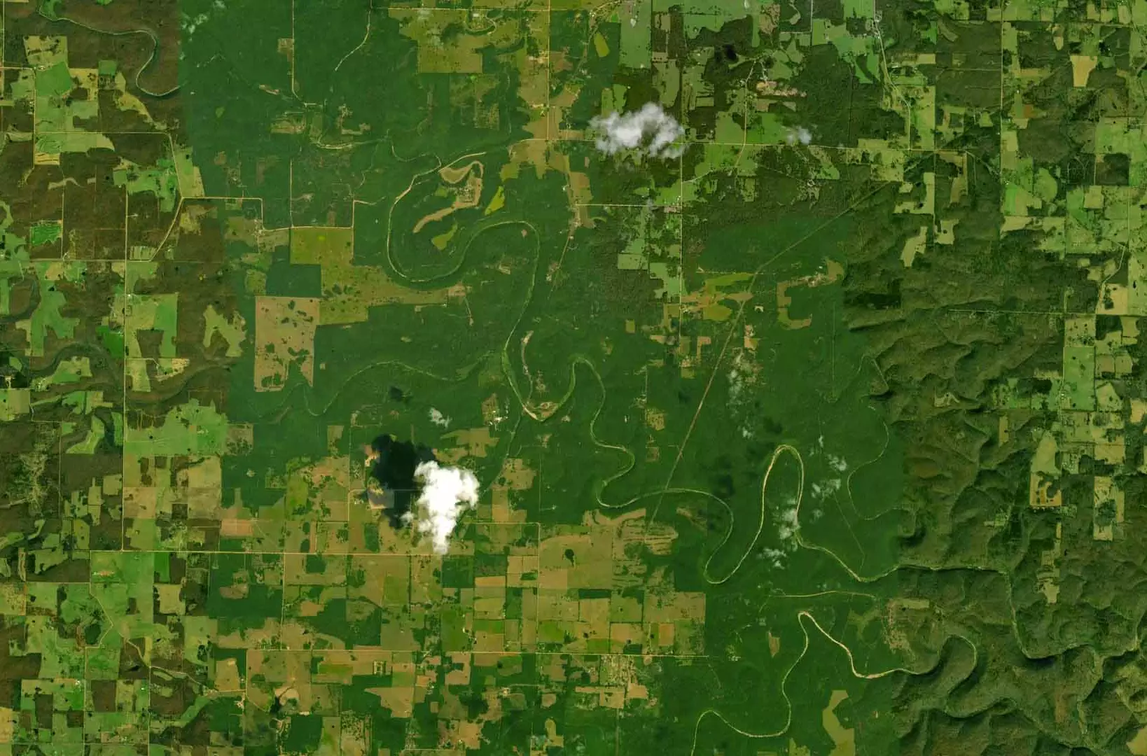
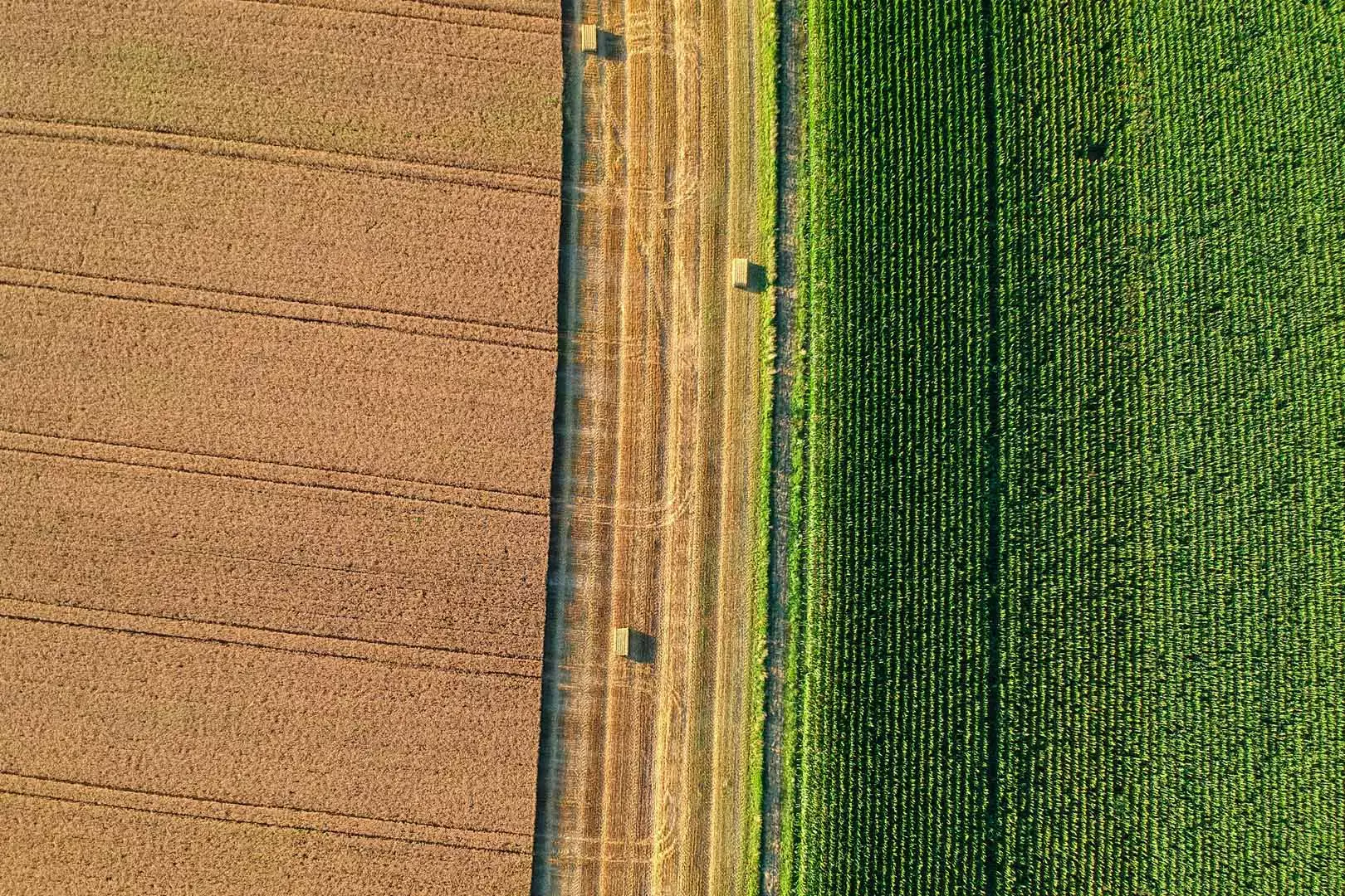
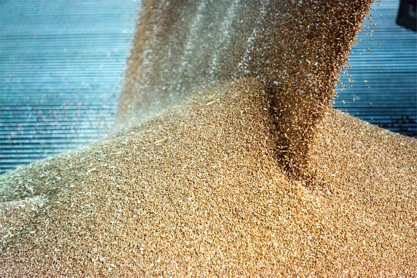
Agriculture satellite imagery refers to images of agricultural land and crops captured by satellites orbiting the Earth. These images can be used to provide information on a range of factors, such as crop growth, health, and yield, as well as soil moisture, temperature, and nutrient content. Agricultural satellite imagery can be captured using a variety of sensors, including optical cameras, Synthetic Aperture Radar (SAR), and thermal sensors.
Unlike traditional radar systems, which send out a single pulse of radio waves and listen for the echo, SAR systems send out a series of pulses and record the echoes over time. By combining these echoes, SAR systems can create detailed images of the terrain below.
SAR allows for accurate and timely assessments of crop health and yield since it can penetrate through clouds and vegetation cover, making it an ideal tool for monitoring crops in regions where cloud cover is common or where traditional optical sensors may be hindered by vegetation.
This data can also be used to identify areas of potential crop damage before it becomes visible to the naked eye. This early warning can allow producers and insurers to take proactive measures to minimize crop damage and ensure a better yield.
How does SAR work?
Synthetic Aperture Radar (SAR) works by transmitting radio waves from an antenna and then receiving the reflected signals from the target. Here are the basic steps in the SAR process:
1. The SAR antenna transmits a short pulse of radio waves towards the target.
2. The radio waves bounce off the target and return to the SAR antenna.
3. The SAR antenna receives the reflected signals and records them as “raw data.”
4. The raw data is processed to create an image of the target. This processing involves a complex mathematical technique called “backscattering,” which essentially analyzes the way that the radio waves interacted with the target and uses that information to create an image.
5. The resulting SAR image can be used for a variety of purposes, such as mapping terrain, or monitoring the growth of crops.
Work With Us
Partnering with PlanetWatchers is simple, and we’re excited to work with you to enhance your acreage reporting and claims validation processes.
HOW CAN SAR HELP?
SAR can create high-resolution images of objects and landscapes in poor weather conditions or through obstacles like clouds or trees
SAR can provide valuable information for crop insurers, producers, and other stakeholders in the agricultural industry. By leveraging this technology, insurers can improve risk management, reduce fraud, and support more sustainable agricultural practices.
YIELD PREDICTION
SAR can be used to monitor crop growth and predict yields
SAR can support crop insurance underwriting and acreage reporting by monitoring crop growth and predicting yields. By analyzing SAR images of fields over time, insurers can identify areas that are likely to have higher or lower yields and adjust premiums accordingly. The technology can detect changes in vegetation cover, which can be used to estimate the amount of land that is devoted to agricultural production.
By analyzing SAR images over time, scientists and agricultural experts can monitor changes in land use and track trends in agricultural production. SAR can also be used to monitor crop rotations and identify areas where crops have been rotated. This information can be used to improve land management practices and reduce soil erosion.
CROP DAMAGE ASSESSMENT
SAR helps to assess crop damage in the event of a natural disaster
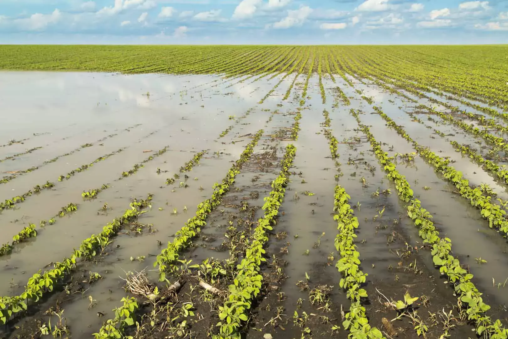
In the event of a natural disaster, such as a flood or drought, SAR can be used to quickly assess crop damage and estimate the extent of losses. This information can help insurers process claims more quickly and accurately, which can improve customer satisfaction and reduce costs. The technology also assists with flood detection and monitoring flood conditions by detecting changes in water levels and flow rates, which can be used to forecast flood risk and assess the potential for further flooding.
SAR can also be used to create flood maps, which can help identify areas that are particularly vulnerable to flooding. SAR is also a cost-effective tool for crop hail insurance, as it can cover large areas quickly and at a lower cost per acre compared to manual inspection. By combining SAR images with other data, such as elevation and land use, scientists and emergency responders can create detailed maps that show which areas are most at risk and help plan mitigation and response efforts.
FRAUD DETECTION
SAR images of fields can be compared with reported yields to detect fraud
SAR can be used to detect fraud in the ag insurance industry by comparing SAR images of fields with reported yields. If the images show that a field was not actually planted, or that the reported yield is much higher than the actual yield, it may indicate fraudulent activity.
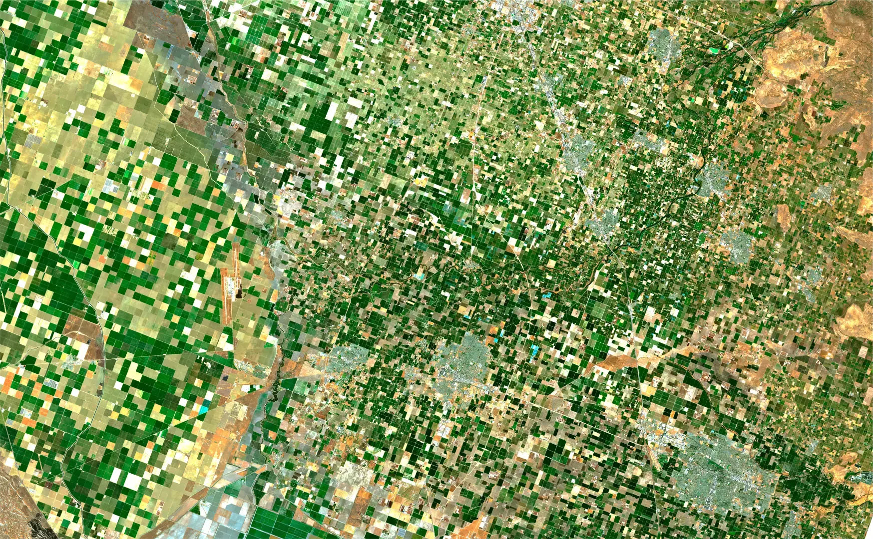
PRECISION AGRICULTURE
SAR can measure soil moisture content, detect crop physical properties, and map land use and land cover
SAR can also be used to support agricultural monitoring, which is a farming technique that uses data to optimize crop production. By analyzing SAR images of fields, producers can identify areas that are underperforming and make targeted interventions to improve crop yields. This can help insurers reduce risk and improve profitability.
RISK MANAGEMENT
SAR can support crop insurers by predicting and mitigating losses
By using SAR to monitor crop growth and health, insurers can better manage risk and adjust premiums accordingly. SAR can provide detailed information about the state of the crops, which can help insurers predict and mitigate losses.