Midwestern Derecho Storm 2020: Early county loss calculations revealed
On 10th August 2020, the most violent modern-day storm to date caused devastation across the states of Iowa and Illinois.


On 10th August 2020, the most violent modern-day storm to date caused devastation across the states of Iowa and Illinois. The storm, called a Derecho due to its nature tore a 700-mile path from Nebraska through to Indiana.
A ‘Derecho’ (from Spanish, meaning ‘straight’ as in direction) is a widespread, straight-line wind storm that is associated with fast-moving severe thunderstorms.
This particular Derecho brought average winds of over 70 mph with numerous locations recording gusts between 110 – 140 mph. This caused wreckage and devastation in its path resulting in more than 300,000 people without power in northern Illinois as well as Iowa.
Iowa was the worst-hit state where the Derecho storm laid waste to millions of acres of crops, damaged and destroyed hundreds of houses, and took a number of lives.
Iowa is the largest producer of corn in the United States, with 2.58 billion bushels harvested in 2019, accounting for roughly one-sixth of nationwide yields.
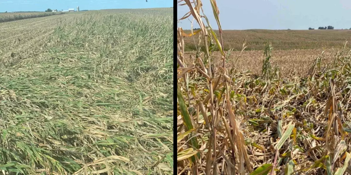
Scenes of acre after acre of damaged crops in Iowa caused by the Derecho storm.
The Derecho affected the entire width of the state, with the high winds breaking or flattening the corn and soybean on a massive scale. In the wake of the storm, insurance companies faced the daunting task of assessing millions of acres of corn and soybean to calculate the damage. This impacted 58,000 insurance policies to date and assessors are still in the fields compiling data.
At PlanetWatchers, we were able to use SAR data taken from Sentinel 1 (contains Copernicus data 2020) to assess the entire area in under an hour.
Using SAR analysis and highly efficient algorithms we are able to quickly see the extent of the damage using change detection before and after the storm.
We were able to quickly clarify the total acreage of crop damage, the severity at the county level, and the average age of the crop at the time of damage.
By reviewing the areas of damage and the extent of damage, combined with the projected yield loss, we can calculate the specific yield loss and value.
This data would normally not be available until harvest, however, with timely analysis at scale we can deliver this insight accurately. This provides additional data without the use of costly and time-consuming manual procedures to help establish precise yield and insurance policies.
Data such as this is critical to the agriculture insurance industry to quickly asses not only the value of damage and its effect on yield but also any detrimental impact on the food supply industry.
Focusing exclusively on crop insurance in North America, PlanetWatchers tells the story of every field saving our customers time and money by enhancing policy and claims validation.