Infographic: Ideal satellite imagery resolution in crop insurance
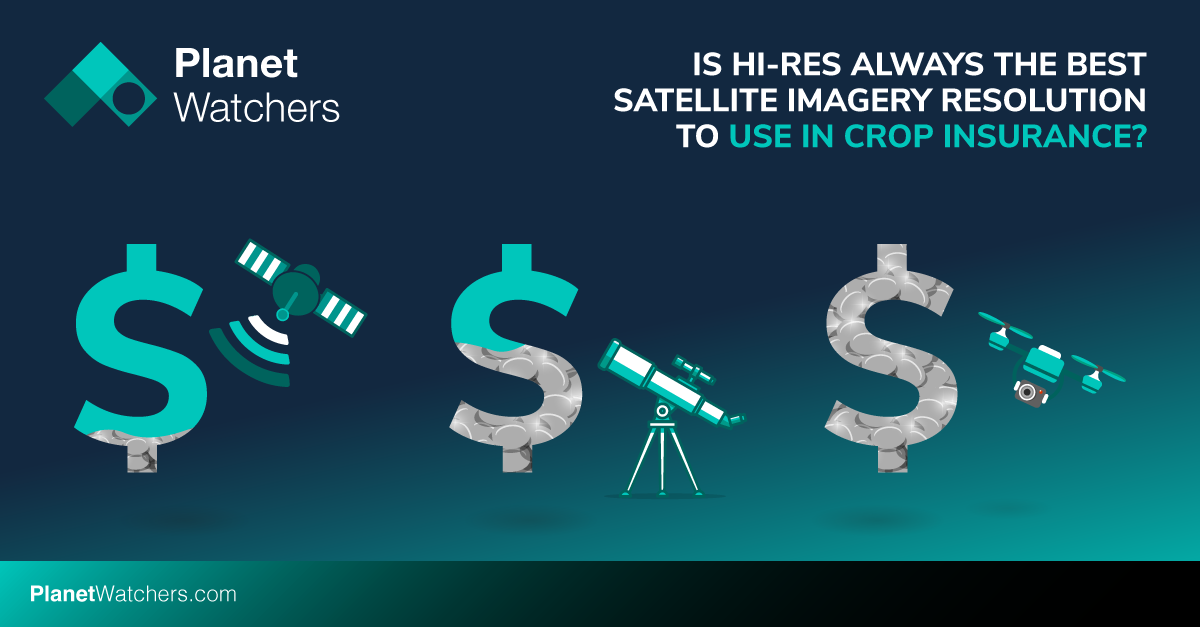
Draw a comparison between the three key types of satellite imagery resolution, namely, high resolution (including drones), medium resolution, and low resolution.

“As the need to fairly and swiftly resolve crop insurance claims increases, insurers are turning to satellite imagery to improve claims adjustments. However, the imagery market is hazy, with private companies pushing the visual appeal and greater precision of their higher-resolution images taken by satellites or drones. Yet, the highest precision doesn’t necessarily lead to the highest return on investment (ROI) for approved insurance providers (AIPs).” – Click here to read the full blog on satellite imagery resolution.
Our recent blog on satellite imagery resolution used in crop insurance offered key insights into the various types of image resolutions, their advantages and limitations as well as the determining criterion for choosing the right level of imagery resolution. After a strong audience response to the blog, we’ve drafted the below infographic to further assist with the drawing of comparisons between the three key types of satellite imagery resolution, namely, high resolution (including drones), medium resolution, and low resolution.
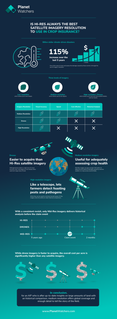
An infographic to draw comparison between the three key types of satellite imagery resolution
Focusing exclusively on crop insurance in North America, PlanetWatchers tells the story of every field saving our customers time and money by enhancing policy and claims validation.