As of 2020, the United States had approximately 2.02 million farms covering 897 million acres, with an average farm size of 444 acres
Climate change and extreme weather events are becoming an increasing concern for American producers, with droughts, floods, and other extreme weather events affecting crop yields.
Agricultural monitoring, also known as precision agriculture or smart farming, has become an important tool for American crop insurance providers looking to manage risk and increase efficiency. With the world’s population expected to reach 9 billion by 2050, the demand for food is only going to increase. As a result, crop insurance providers need to help producers produce more food using fewer resources, and ag monitoring can play a crucial role in achieving this goal.
Ag monitoring involves collecting data from different sources, such as sensors and satellites, and analyzing it to make informed decisions. The combined data collected through ag monitoring and acreage reporting is then used to inform crop insurance policies, develop risk management strategies, and improve agricultural practices.
The ag monitoring data has also become increasingly important for crop hail insurance in light of the changes in weather patterns. In a time when producers are facing increasing uncertainty due to climate change, ag monitoring enables insurance companies to better support producers in recovering from losses caused by climate-driven disasters.
Agricultural monitoring is a valuable tool for American crop insurance providers looking to manage risk and increase efficiency. By using technology and data analysis, crop insurance providers can reduce their risk exposure, improve the accuracy of their underwriting decisions, and ultimately improve their bottom line. With the world’s population set to increase, the demand for food is only going to grow, and ag monitoring will play a crucial role in helping American crop insurance providers meet this challenge.
AG INSURANCE
Crop insurance is the largest federal support for the agricultural industry, with an estimated cost of $15.5 billion in 2023.
Efficient Resource Management
Enables crop insurers to help producers use resources efficiently
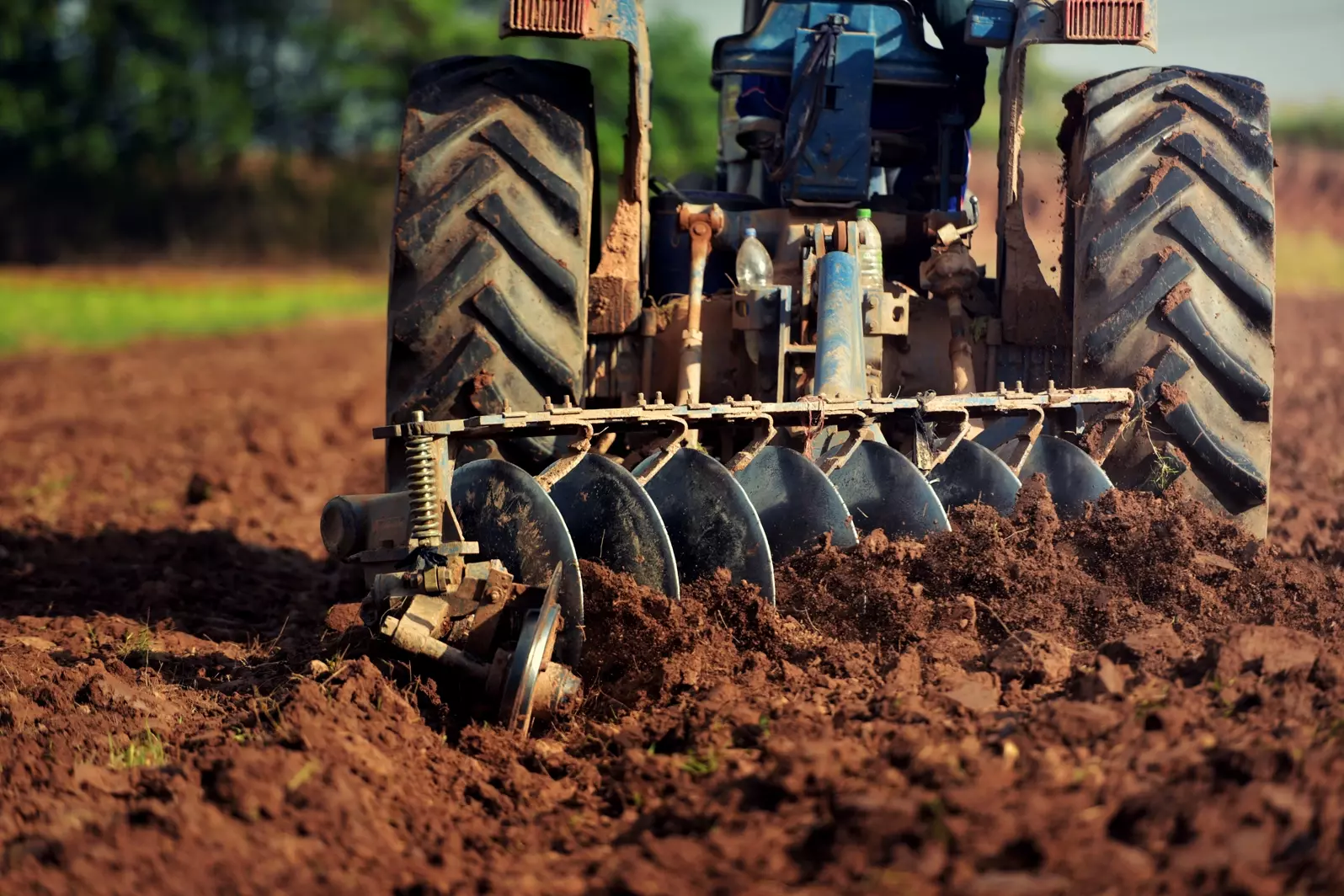
One of the most significant benefits of ag monitoring is that it enables crop insurance providers to help producers use resources efficiently. By analyzing data on soil moisture, temperature, and nutrient levels, the ag insurance industry can advise producers on how to apply fertilizers and irrigation in a more targeted way. This reduces the amount of fertilizer and water used, saving producers money while also reducing the risk of crop damage and loss.
Efficient resource management is crucial for crop insurance providers as they seek to minimize their exposure to risk. By helping producers use resources more efficiently, crop insurance providers can reduce the likelihood of crop damage and loss, ultimately reducing the amount they have to pay out in claims.
Early Problem Detection
Helps crop insurers to identify and address problems early on
Early problem detection is crucial for crop insurance providers as they seek to minimize their exposure to risk. By identifying and addressing problems early on, crop insurance providers can reduce the likelihood of crop damage and loss, ultimately reducing the amount they have to pay out in claims.
For example, if sensors detect that soil moisture levels are high and rainfall is forecasted in the coming days, an early flood detection warning system could be triggered to alert insurance providers and producers to the increased risk of flooding. This would allow producers to take preventative measures, such as moving livestock to higher ground or implementing soil conservation practices, to minimize the impact of potential flood damage.
Another way that ag monitoring can help with flood detection is by providing detailed information about the extent and severity of flood damage after an event has occurred. By using satellite imagery in agriculture, insurance providers can quickly assess the extent of flood damage across large areas, allowing them to provide prompt and accurate compensation to affected producers. This can help producers get back on their feet more quickly and reduce the financial impact of crop damage and loss.
Optimized Operations
Guides crop insurers to make informed decisions
Ag monitoring enables crop insurance providers to make informed decisions about when to offer coverage and at what rates. By analyzing data on temperature and weather patterns, crop insurance providers can predict the best time to insure crops and adjust rates accordingly. This means that they can optimize their operations and reduce their risk exposure.
Optimizing operations is crucial for crop insurance providers as they seek to maximize their profitability. By offering coverage at the right time and at the right rates, crop insurance providers can attract more customers while minimizing their exposure to risk.
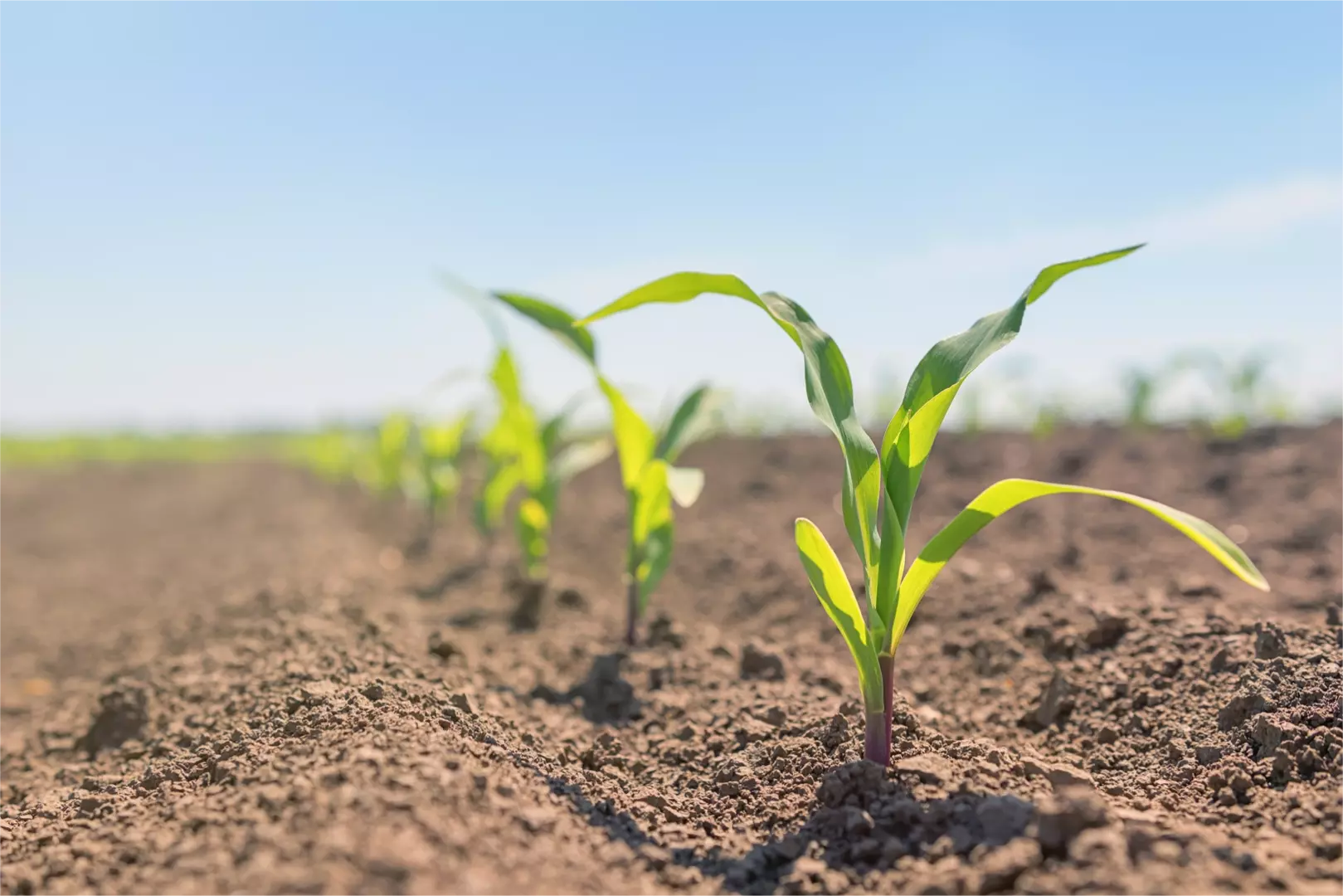
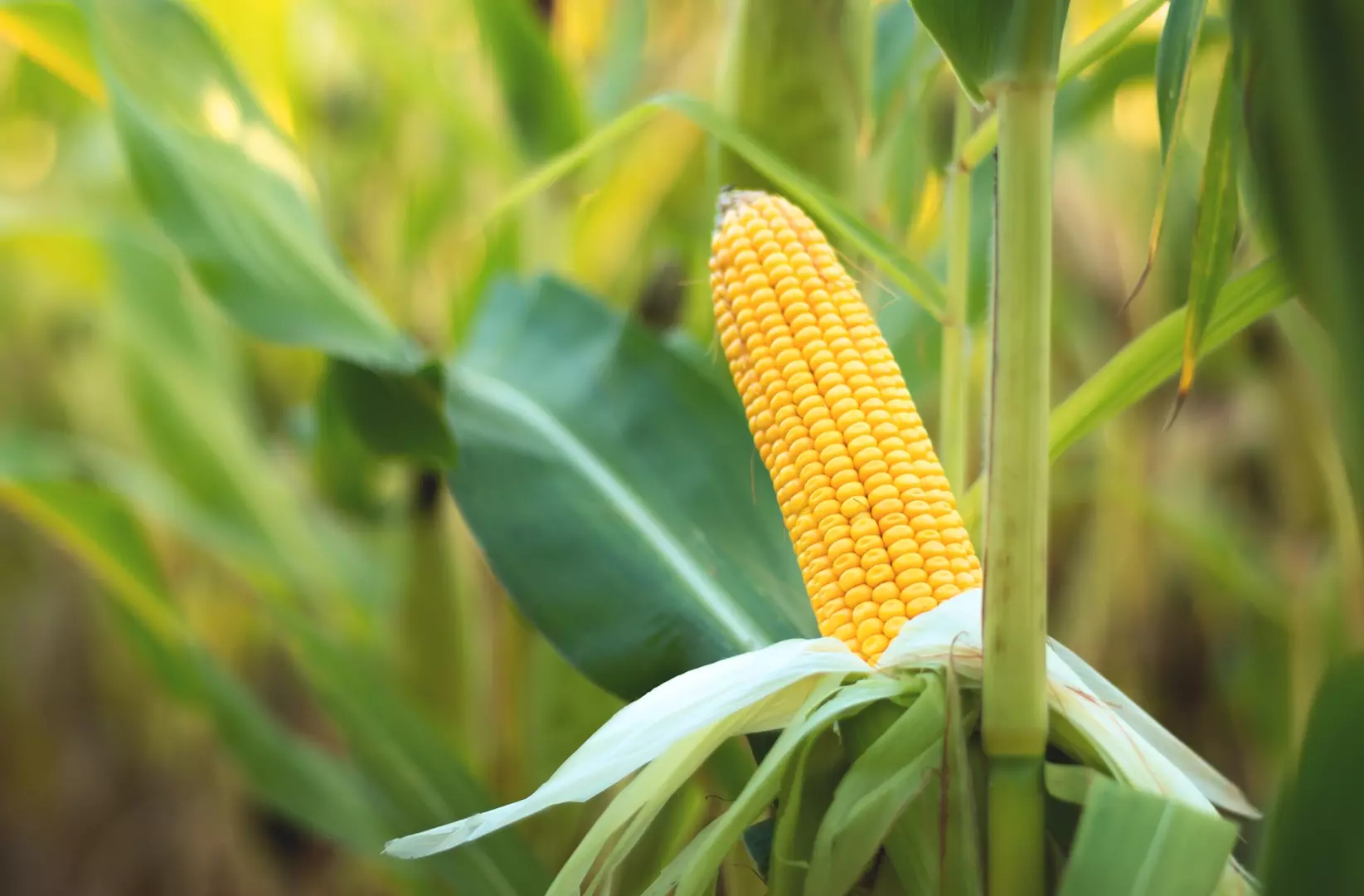
Crop Health Monitoring
Assists crop insurers to monitor the health of crops insured under their policies
By analyzing data on plant growth, nutrient levels, and pests, crop insurance providers can identify any issues and take action before they become serious. This means that producers can reduce crop loss and improve the quality of their crops, ultimately reducing the insurance provider’s risk exposure.
Crop health monitoring is crucial for crop insurance providers as they seek to minimize their exposure to risk. By monitoring the health of crops insured under their policies, crop insurance providers can identify any issues and take action before they become serious, ultimately reducing the amount they have to pay out in claims.
Precision Agriculture
Allows crop insurers to help producers reduce their input costs and increase yield
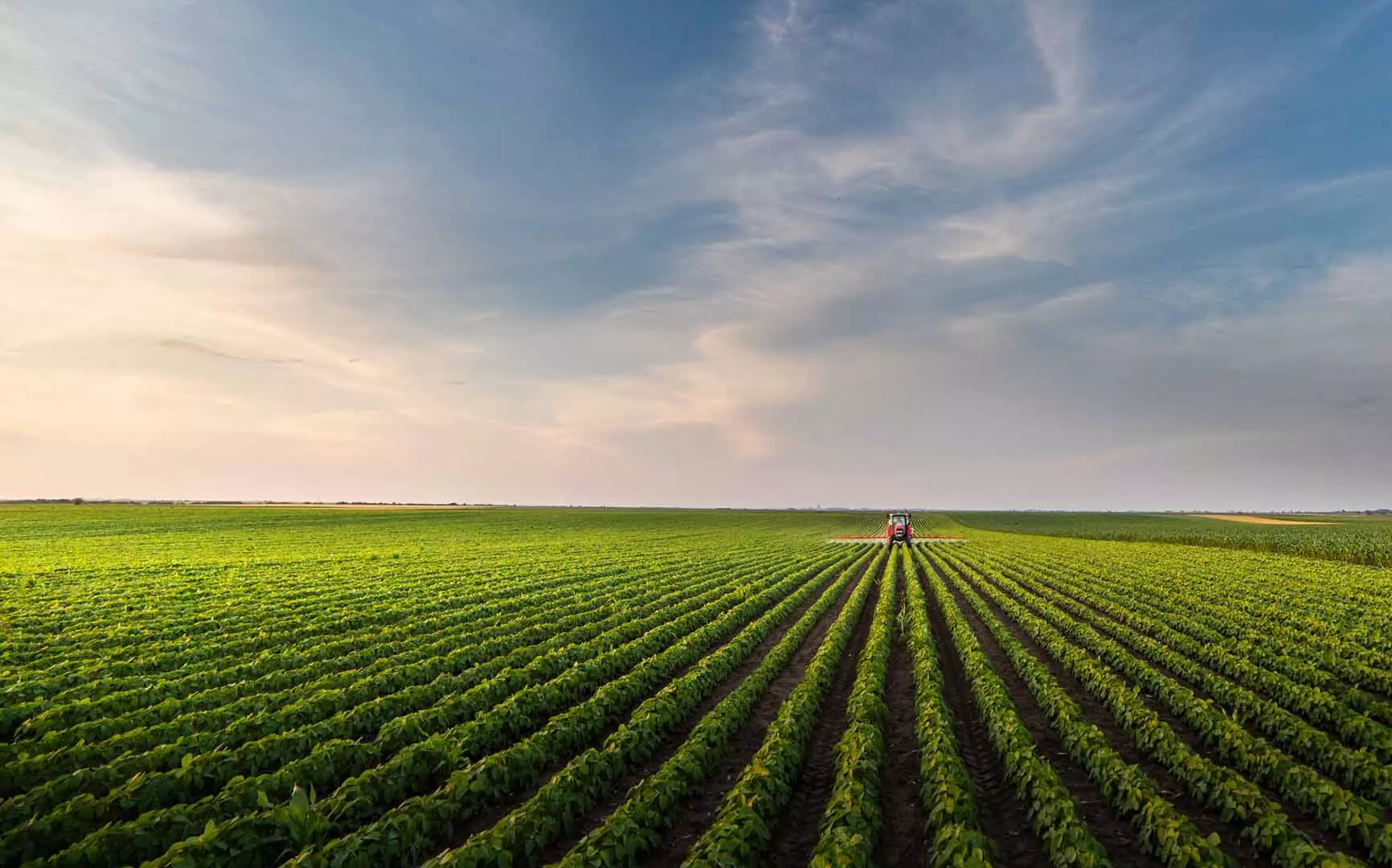
One of the key technologies used in ag monitoring is precision agriculture. Precision agriculture involves using sensors to collect data on soil moisture, temperature, and nutrient levels. This data is then analyzed to make informed decisions about when and how much to irrigate and fertilize crops. By using precision agriculture, crop insurance providers can help producers reduce their input costs while increasing yield, ultimately reducing their risk exposure.
Precision agriculture is a valuable tool for crop insurance providers as they seek to help producers reduce their input costs while increasing yield. By using precision agriculture, crop insurance providers can help producers produce more along with enhanced financial security.

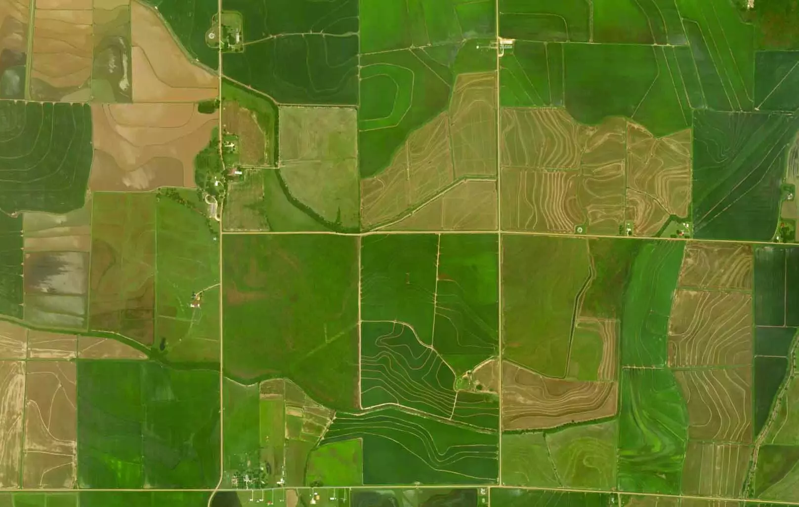
Satellite Agriculture Imagery
A powerful tool that can help with agricultural monitoring
Satellite imagery provides a wealth of information that can help producers to make more informed decisions about crop management and ultimately improve agricultural productivity.
The Role of Drones in Agriculture Monitoring
Drones can be used to gather high-resolution imagery and other data on crops.
They can fly at low altitudes and capture detailed images of crop health, moisture levels, and other factors that affect crop yield. Drones can also be used to assess crop damage caused by hail or other disasters and provide real-time data to insurance companies for faster claims processing.
While both SAR and drones are useful tools for the crop insurance industry, there are some key differences between the two technologies. SAR can cover larger areas more quickly than drones, making it well-suited for large-scale monitoring of crops. SAR data is also more consistent than drone data, as it can collect data at the same time of day and under similar weather conditions, which reduces variability in the data. This makes it easier to compare SAR data over time and to identify changes in crop health or moisture levels.