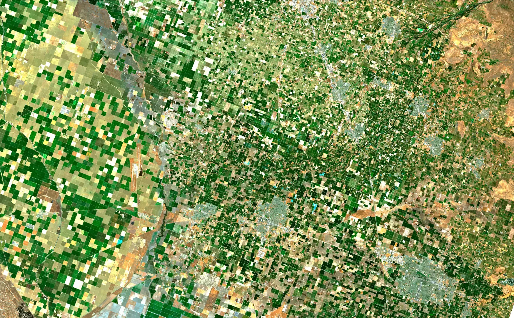
We evaluated 5.1M acres of crop damage from the 2019 Midwestern Floods in under an hour
We help crop insurers with predicting floods, identifying vulnerable crops, and developing targeted strategies for managing the impact of floods through our flood detection service
Floods in North America have had a significant impact on the crop insurance industry in recent years. The increasing frequency and severity of floods have led to higher crop losses and increased payouts for crop insurance companies.
One of the main impacts of floods on the crop insurance industry is an increase in the number of claims. Floods can cause significant damage to crops, leading to lower yields and higher losses for producers. As a result, crop insurance companies are paying out more claims to compensate for these losses.
According to the United States Department of Agriculture’s Risk Management Agency (RMA), hail and floods are two of the most common causes of crop damage in the United States. In 2019, hail accounted for 35% of all reported crop insurance claims in the country, while floods accounted for 18% of all claims. While crop hail insurance claims are the most common, floods too are a significant risk to crop production, particularly in areas that are prone to flooding.
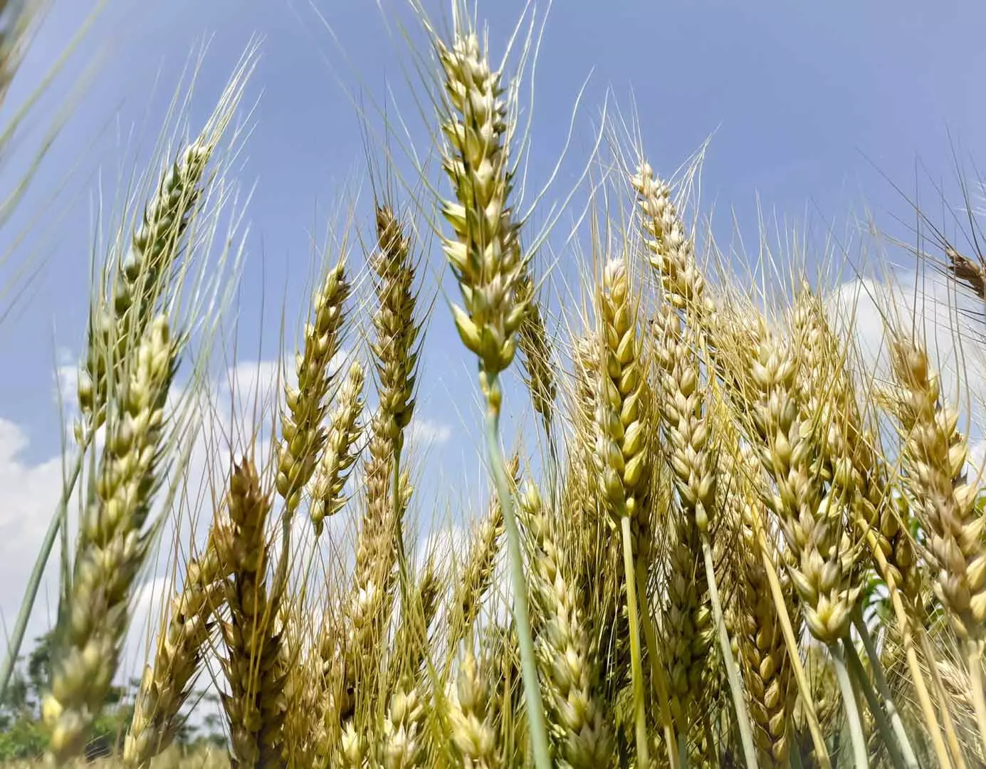
The RMA also reports that floods are a significant risk to several major crops in the United States, including rice, soybeans, and corn. In 2019, floods accounted for 26% of all crop insurance claims for rice, 21% of claims for soybeans, and 13% of claims for corn.
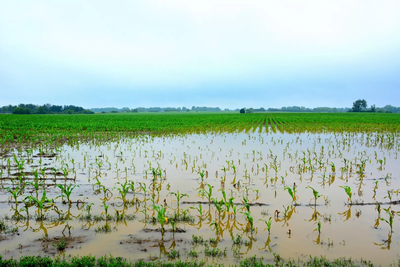
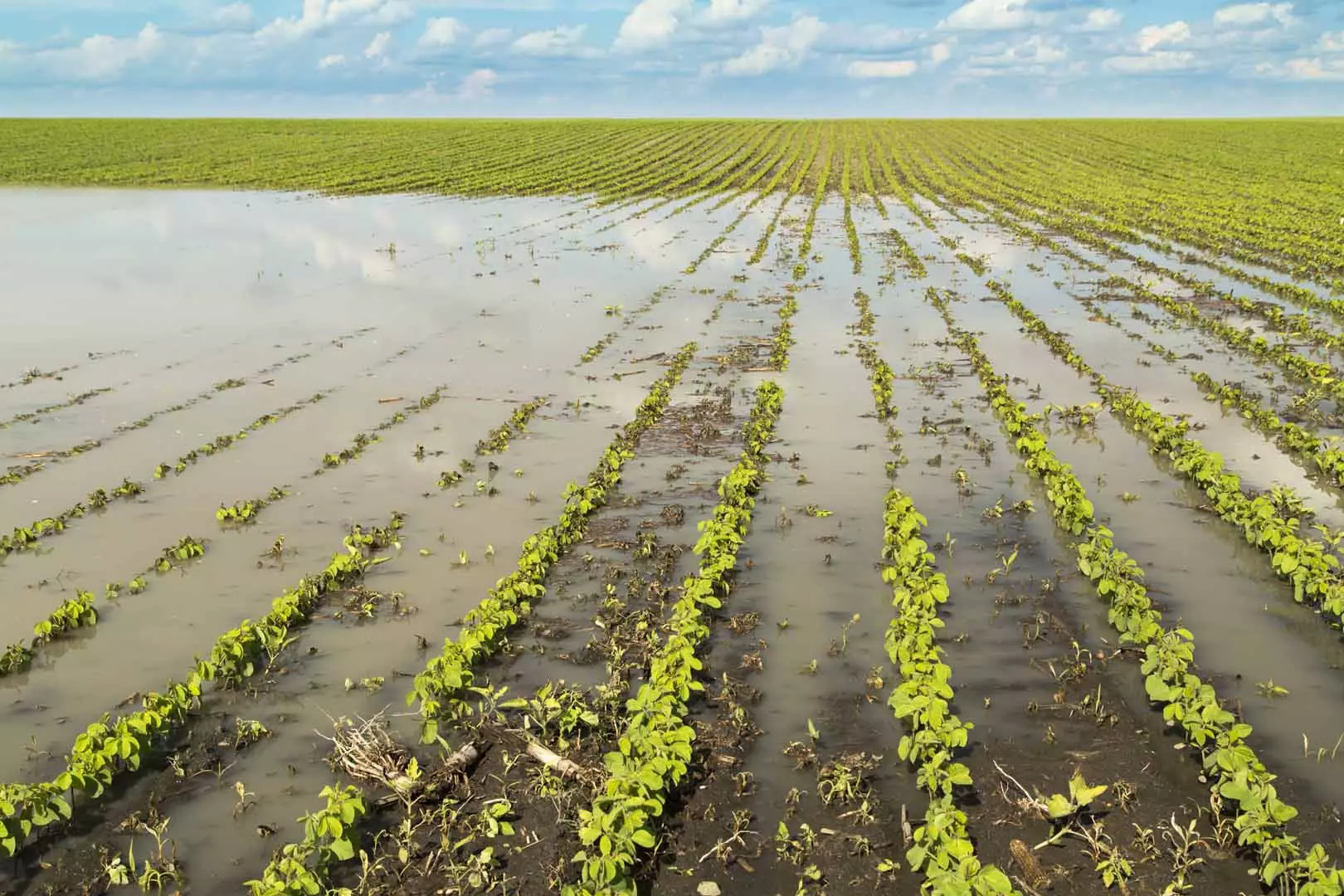
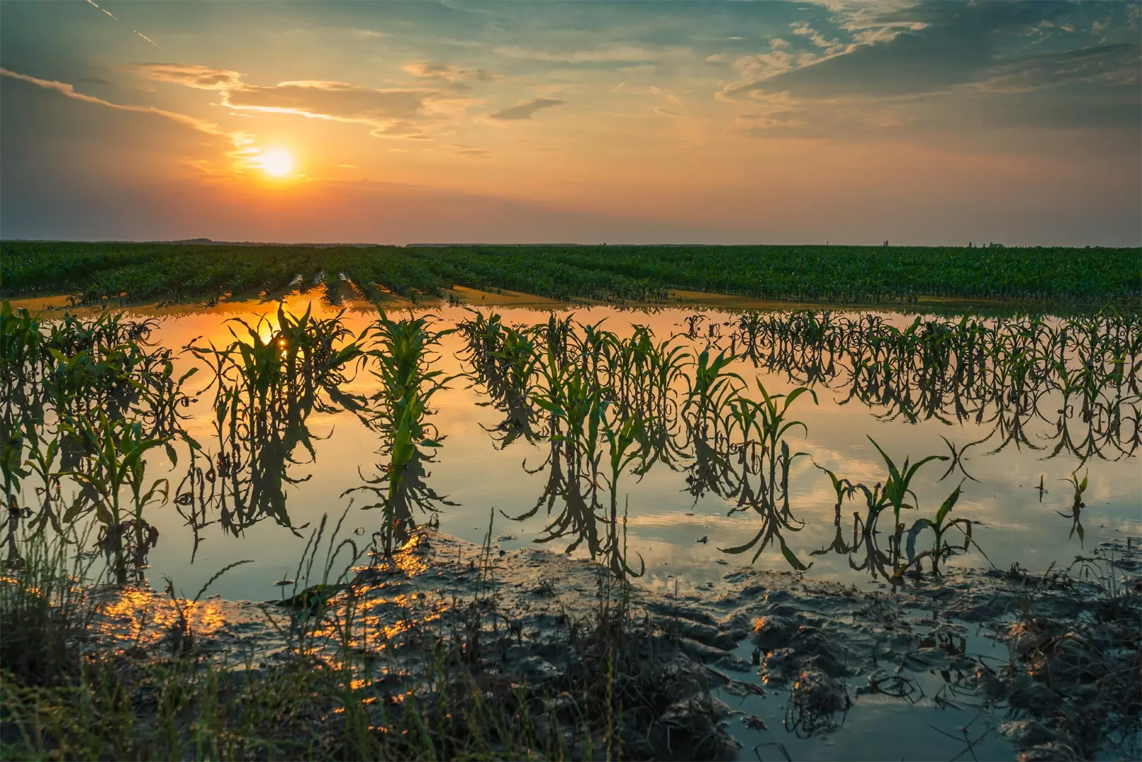
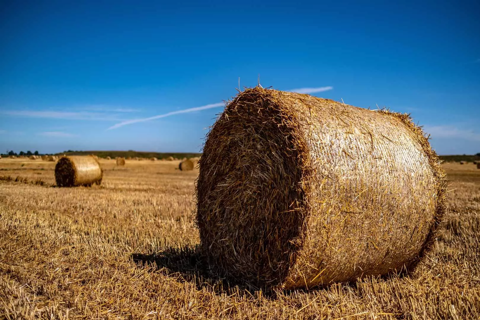
The agricultural sector is particularly vulnerable to floods. They cause detrimental damage, particularly if they strike during planting or harvesting season. When flooding occurs on agricultural land, it not only affects the crop itself but the excess water damages the soil health. If soil is too wet it can result in both prevented planting and replanting claims.
PlanetWatchers historical analysis of flooding allows us to generate flood-frequency, multi-year mapping. This can be used to assess risk and predict future claims. This analysis can be delivered at scale right down to the individual field level.
OUR CLAIMS SERVICES
Our claims services help crop insurers save 40%-75% of the time spent processing a claim.
How can satellite agriculture imagery help?
Satellite agriculture imagery offers unique advantages for flood detection and agriculture monitoring. It can capture images day and night and in all weather conditions, making it ideal for monitoring floods where visibility is poor due to bad weather conditions.
Other remote-sensing technologies, such as optical imagery, cannot operate in such conditions. This means that synthetic aperture radar (SAR) can provide valuable data even during severe weather events that often precede and accompany flooding.
In addition, SAR can be particularly useful in situations where assessors cannot access flooded areas to report on the damage. SAR imagery can provide detailed information on the extent and severity of flooding, allowing for a quicker and more efficient response to the disaster.
Why use historical analysis?
Historical analysis for flood detection involves studying the past flood events that have occurred in a particular area in order to gain insights into the frequency, severity, and impact of floods. This analysis can involve examining various types of data, including hydrological data, meteorological data, and satellite imagery.
One of the key benefits of historical flood analysis is the ability to generate flood-frequency, multi-year mapping. This mapping provides insights into the frequency and extent of floods in a given area over a long period of time. By analyzing historical flood data, we can assess the risk of future flooding events and predict potential claims. This information is invaluable to insurance companies, emergency response teams, and other stakeholders who need to plan for and respond to flooding events.
One of the advantages of flood-frequency mapping is that it can be delivered at scale, from a regional level all the way down to individual fields. This level of granularity allows for more precise risk assessments and more targeted responses. For example, producers can use flood-frequency mapping to determine which crops are most at risk from flooding and take appropriate measures to protect them. Insurance companies can use the data to adjust premiums and offer more tailored coverage to their customers.
Historical analysis of flooding and flood-frequency mapping provide a powerful tool for assessing risk and predicting future claims. This data can be delivered at scale and down to the individual field level, allowing for more precise risk assessments and targeted responses to flooding events.
Historical analysis for crop insurance
The purpose of historical analysis is to identify patterns and trends in flooding events, which can be used to predict future floods and assess risk. This information is valuable for ag insurance since it allows the industry to assess the risk of flooding in specific areas and adjust premiums accordingly. This helps them to manage their financial risk and ensure that they can cover potential losses from flooding. It also provides valuable insights into the frequency and severity of floods in specific areas.
Crop insurance companies can use historical analysis to identify specific crops that are most vulnerable to flooding. Historical analysis has the potential to help crop insurance companies develop more targeted and effective strategies for managing the impact of floods on their clients. By identifying areas that are most vulnerable to flooding, they can develop targeted outreach and education programs to help producers prepare for and respond to flood events.
Overall, historical analysis for flood detection is a valuable tool for crop insurance companies. It helps them to assess risk, develop more accurate models for predicting floods, identify vulnerable crops, and develop targeted strategies for managing the impact of floods on their clients.
The need for flood detection in North America
Flood detection is a crucial part of the crop insurance process, similar to acreage reporting since it enables crop insurance companies to assess the level of risk associated with insuring crops in a particular area. With precise information on flood risk and acreage planted, insurers can adjust insurance premiums and coverage limits, making insurance policies more tailored and affordable for producers.
Flood detection can also be used to develop early warning systems that alert producers and insurers to potential flood events. This allows producers to take preventive measures to protect their crops and assets, and insurers to prepare for potential claims and losses. By leveraging technology such as remote sensing and satellite imagery, flood detection can be performed quickly and accurately, reducing the time and cost involved in assessing crop damage and processing insurance claims.